West Highland Way
A spectacular itinerary on the Scottish trails;
154 Km, 8 days | Scotland
Let's plan your hike together (for FREE)!
Fill in the form by clicking on the button below and we will get back to you for free.
An 8-day trail through the unspoilt nature of the Scottish regions, passing places with a unique and magical air;
A route of medium-high difficulty that allows you to enjoy unique views far from civilization, while remaining quite easily passable.
Transportation
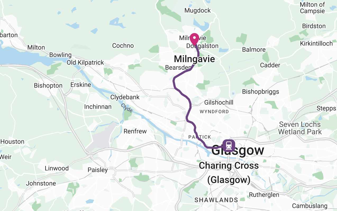
The starting point of the path is Milngavie, very close to Glasgow and easily accessible from there: depending on whether you depart directly from Glasgow Airport (20-80 minutes to Milngavie) or from the city centre (15-40 minutes to Milngavie), there are several possible methods.
From Glasgow city centre:
From Glasgow airport:
- taxi (about 20 minutes, ≃ 30€);
- train and bus, first taking a bus from the airport to the city centre (leaves every 15 minutes) and then following the ways listed above.
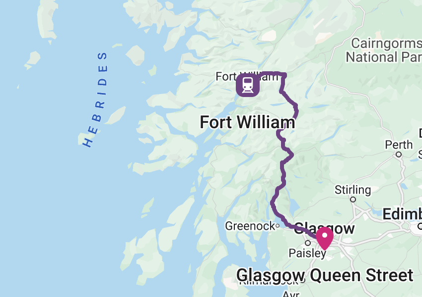
For the return you can instead choose to take a Fort William to Glasgow direct train, which takes almost four hours, or whether to take a bus (about 3 hours), always from Fort William to Glasgow
Itinerary and stages
Stage 1 – Milngavie to Drymen:
19 Km | 4/6 hours | + 103m, -107m
This is the first stage of the walk and is mostly on level ground, allowing this experience to begin without too much effort; The route starts in the centre of Milngavie, at the stone obelisk with the logo of the walk and ends in the village of Drymen, located within the Loch Lomond and the Trossachs National Park;
Stage 2 – Drymen to Rowardennan:
22,5 Km | 4/6 hours | +233m, -300m
The trail from Drymen begins by diverging from the A811 road and heading toward Conic Hill, from which there will be epic and spectacular views of the surrounding area. You will also be able to see Loch Lomond and the islets it is dotted with. At this point we head to the town of Balmaha, where it will be possible to rest and find food and water. Now continue walking following the lakeshore and passing through three campsites (Cashel, Milarrochy and Sallochy), until you reach Rowardenann.
Stage 3 – Rowardennan to Inverarnan:
22,5 Km | 4/6 hours | +180m, -170m
On this stage we will enter the northernmost part of Loch Lomond, where the lake reaches a depth of more than 180m. In the area north of Inversnaid, the terrain becomes more complicated for walkers to manage and requires more attention. On this section of the trail you might encounter wild goats and some fantastic birds, also worth mentioning are the beautiful waterfalls present at Inversnaid.
Stage 4 – Inverarnan to Tyndrum:
19,3 Km | 6/8 hours | +340m, -150m
During this day you will move from the typical Loch Lomond landscape to more mountainous scenery. It follows the Falloch River, managing to catch a glimpse of Falloch Falls before the halfway point of the stage, where the town of Crianlarich stands, from which, however, the original West Highland Way trail would not pass, but which can be reached by trave a very short detour. It then continues over the hills, which initially follow the Fillan River through the valley floor. You will then pass by Kirkton Farm, where there are ruins, before finally heading for the town of Tyndrum;
Stage 5 – Tyndrum to Inveroran:
14,5 Km | 4/6 hours | +190m, -240m
Before you leave Tyndrum you must remember that there will be no more places to buy food or goods until Kinlochleven, so it is good to buy everything you need for two days and gear up! Shortly after leaving Tyndrum you will find yourself on the flanks of Beinn Odhar mountain and overlooking the pyramid-shaped mountain called Beinn Dorain. From here on the trail the relief will diminish and the valley will flatten out, descending gently to the railway station. After the Orchy Bridge, the path rejoins the old military road; now it climbs slightly to a point with a beautiful view and finally arrives in Inveroran;
Stage 6 – Inveroran to Kingshouse:
16 Km | 4/6 hours | +250m, -150m
On this stage you will cross one of the richest stretches of unspoilt nature on the entire route and in Europe in general; We start by slowly ascending to Rannoch Moor, where about halfway up the stage is the Rannoch Moor Bridge, which offers a splendid view of the surrounding areas. Depending on the weather conditions this stage could be really pleasant, or quite challenging, just given the presence of such unspoiled nature and vegetation. We then continue to Kingshouse, the destination of this stage.
Stage 7 – Kingshouse to Kinlochleven:
14,5 Km | 3/4 hours | +260m, -480m
As you travel this stage you will come across one of the most imposing mountains in all of Scotland, the Buachaille Etive Mor. Start by heading towards Altnafeadh, and then turn right towards the ‘Devil’s Staircase’, which leads up to the highest point on the entire West Highland Way, located at 550m above sea level. At this point you will cross a flat area for a few kilometres and after resting on the plains you will begin to descend towards the town of Kinlochleven;
Stage 8 – Kinlochleven to Fort William:
24 Km | 6/8 hours | +400m, -400m
This last stage of the walk begins with an ascent to a viewpoint, from which Kinlochleven and Loch Leven can be seen from above; The trail then follows the valley heading north and through the forest towards Glen Nevis. We then continue through the vegetation and see Ben Nevis, the highest mountain in the British Isles. Then begins the last section of the walk, which continues downhill towards Fort William, the final destination of the West Highland Way;

Passport
The Official passport of the West Highland Way is a great memento of your adventure and offers the option of stamping it at certain points along the way, to remind you of the stages you have travelled and the emotions you have experienced.
To request it click on this link will take you directly to the dedicated page on the official West Highland Way website!
Videos and Useful Resources
You might find it useful to watch some videos (here we have prepared a playlist of interesting videos) to find out some additional information about the West Highland Way. Click on this link to see the playlist on Youtube.
For all always up-to-date informations concerning the West Highland Way and every aspect of it, please consult the official website.
West Highland Way Guidebooks:
Below you will find what we think are the best guides to the West Highland Way: we think they are useful for better planning your itinerary and discovering interesting facts and trivia;
GPX tracks:
Along the West Highland Way, although it is fairly well signposted, it is good to have some equipment with you; updated GPX tracks of the routecan be found at this link, which leads to an official page of the West Highland Way website: you will find the various sections of the walk and by clicking on them you can also download the relevant GPX tracks;
When to hike it
The West Highland Way can be walked all year round, but the better periods are certainly at spring and in autumn.
May is usually the busiest month, so if you are travelling in this season or even in summer, try to book your accommodation in advance so as not to risk finding everything full;
One problem with the trail and the area in general is the presence of midgesespecially between May and September: to try to protect yourself, it is highly recommended to use special repellents or some nets to put around your head (in this page there is a more detailed explanation, along with other frequently asked questions about the West Highland Way).
Markers
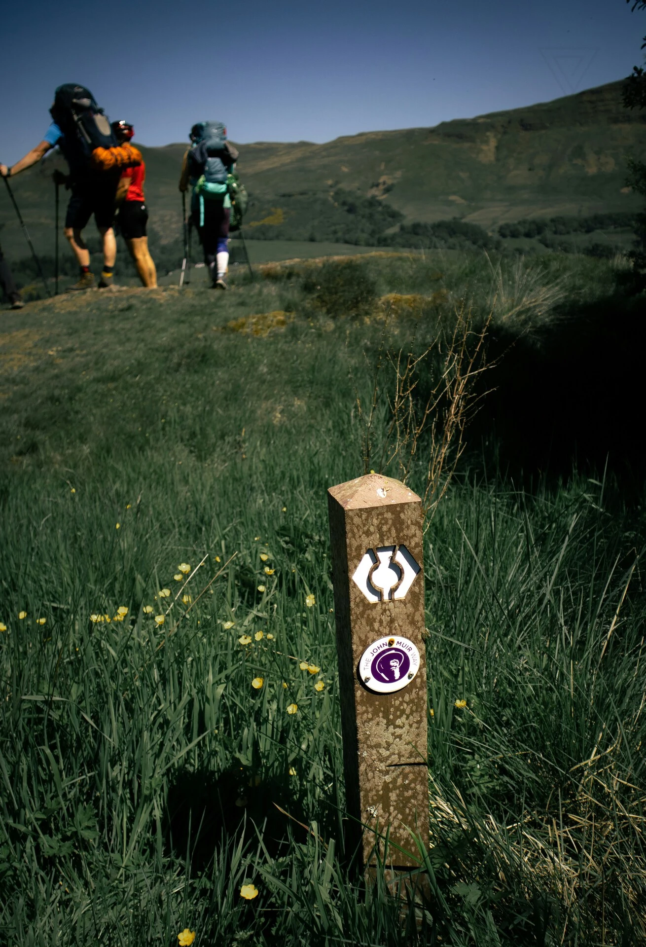
The entire route is fairly well signposted with stakes, signs and markers depicting the symbol of the camino:
Other routes you might like
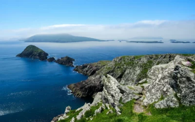
Dingle Way
Discover the Dingle Way, a marvelous 176-kilometer walk exploring southern Ireland
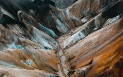
Laugavegur
Live a breathtaking experience by walking the Laugavegur, Iceland’s most famous path that will take you to discover the far north
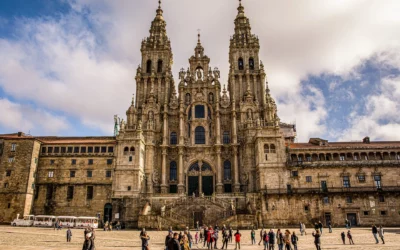
The Way of St. James from Sarria
Discover the Way of St. James from Sarria, walking the last 120 km, necessary to receive the “Compostela”. Go through unique places and have fantastic experiences and sensations that will remain for a lifetime!


0 Comments